AI-powered drone system for autonomous PV fault detection

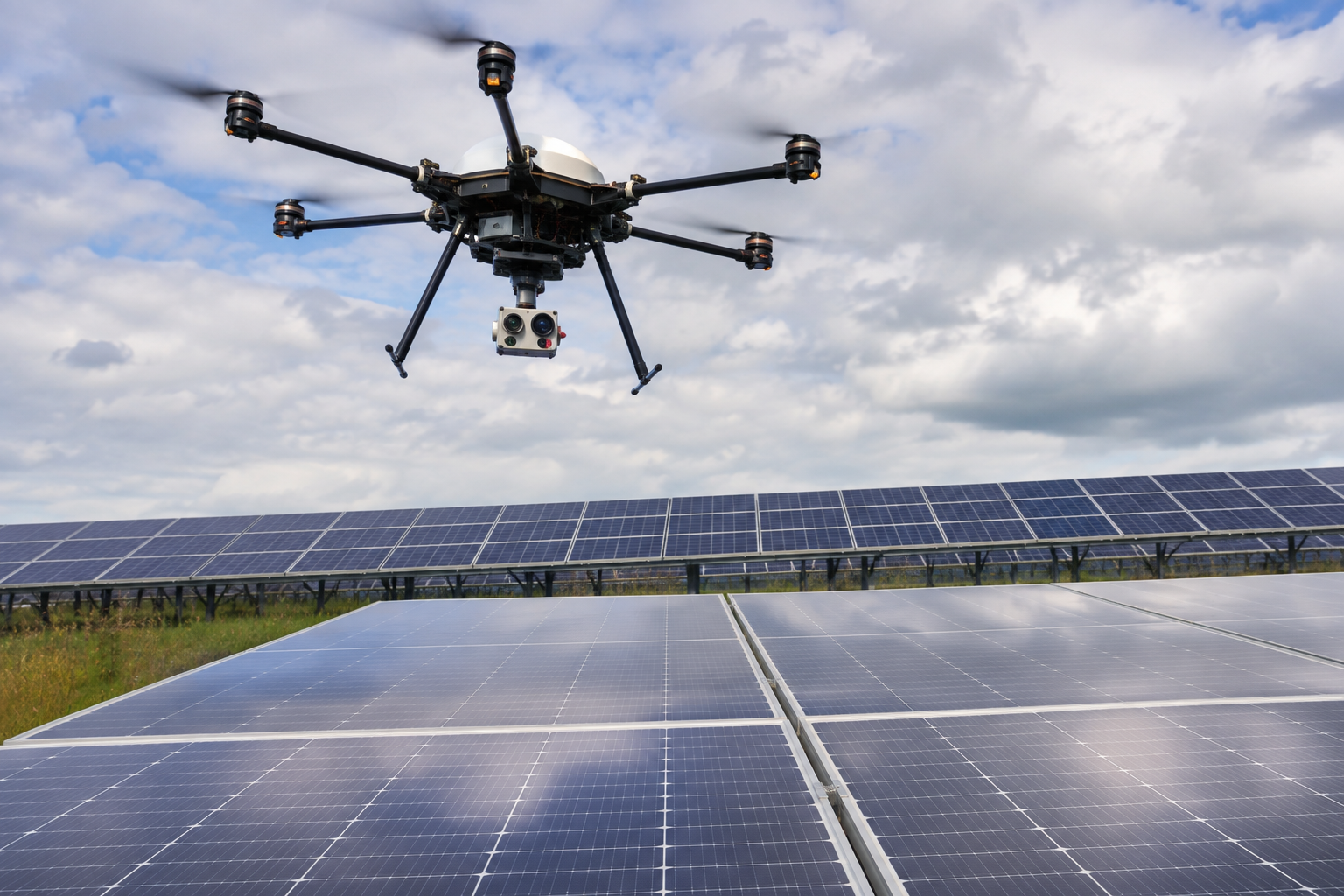
A research group from Poland and Spain has developed a novel framework for autonomous unmanned aerial vehicle (UAV)-based inspection of PV installations. The system combines thermal and multispectral imaging with AI-based anomaly detection using multi-frame analysis of drone-acquired imagery.
“The central research problem addressed in this work concerns the automated detection of thermal and visual anomalies using drone-acquired imagery,” the researchers said. “Importantly, the thermal module is used for relative anomaly detection rather than absolute temperature measurement. Thermal images are treated as visual patterns, and anomalies are confirmed through multi-frame consistency across different viewing angles.”
The researchers developed a custom hexacopter equipped with a FLIR Boson 640 radiometric thermal camera and a MicaSense Altum multispectral camera. The FLIR camera operates in the 7.5–13.5 μm long-wave infrared range, has a resolution of 640 × 512 pixels at 30 Hz, and offers thermal sensitivity below 50 mK. The MicaSense Altum simultaneously captures RGB, thermal, and multispectral imagery. The aircraft and sensor payload were powered by dedicated power supplies, enabling flight times of approximately 25 minutes.
Using this setup, the researchers conducted multiple autonomous flight campaigns over a small residential PV installation and a large industrial-scale facility under varying atmospheric conditions. The flights took place during daylight hours at ambient temperatures ranging from 12 C to 22 C, mostly under clear or partly cloudy skies and with wind speeds below 12 m/s.
The UAV operated at altitudes ranging from 18 m to 30 m to maintain a ground sampling distance of approximately 2.5 cm to 4.0 cm per pixel. The researchers also adjusted flight speed and track spacing to ensure sufficient image overlap.
The researchers used imagery collected during the flight campaigns to build the model dataset. It comprised 1,950 proprietary flight images, 190 images from the publicly available Kaggle “Solar Panel Images” repository, and 260 laboratory images depicting controlled contamination.
They first removed blurred, overexposed, excessively noisy, and irrelevant frames before normalizing the remaining images and segmenting and cropping individual PV modules.
The researchers manually labeled anomalous modules as exhibiting dust, sand, bird droppings, or hotspots, while classifying normal modules as clean. They allocated 81.25% of the images to training, 7.92% to validation, and 10.83% to testing.
The researchers then compared four convolutional neural network (CNN) architectures: EfficientNet-B0, ResNet18, MobileNetV3-Small, and RegNet-Y16GF.
EfficientNet-B0 delivered the best overall performance, with precision of 0.903, recall of 0.907, a macro F1 score of 0.904, and a weighted F1 score of 0.927. The F1 score represents the balance between precision and recall.
Performance varied by anomaly class. The model achieved precision, recall, and F1 scores of 1.000 for both hotspots and clean modules. It recorded an F1 score of 0.907 for sand and 0.889 for bird droppings. Dust proved the most difficult anomaly to identify, with precision of 0.711, recall of 0.751, and an F1 score of 0.732.
“The modular design of the system enables straightforward extension toward coordinated multi-UAV operation and enhanced multi-sensor fusion, offering a pathway toward next-generation, high-throughput PV-monitoring platforms,” the researchers concluded. “The methodological transparency introduced in this work – including detailed sensor specification, dataset composition, and anomaly-classification procedures – ensures that the system can be reliably reproduced and further developed in future studies.”
The researchers presented the framework in “Automated UAV thermal imaging and AI-based detection of hotspots and surface contamination in photovoltaic panels,” published in Measurement. The research team included scientists from Rzeszow University of Technology in Poland and Spain’s Valencia Polytechnic University.
This content is protected by copyright and may not be reused. If you want to cooperate with us and would like to reuse some of our content, please contact: [email protected].

Please login to comment