In November, Europe's dominant weather pattern was a persistent low pressure centered over the Baltic, which significantly influenced solar irradiance patterns across the continent.
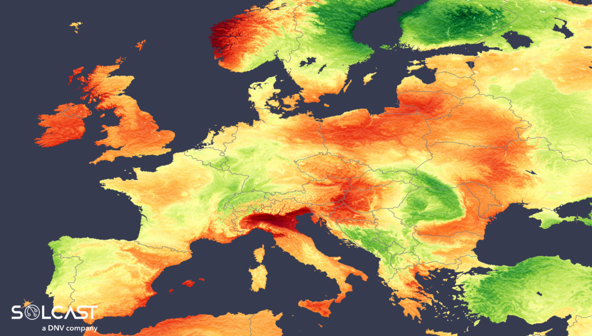
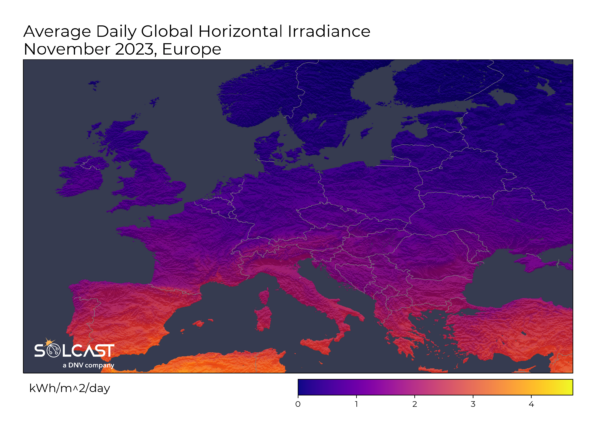
Data analyzed by Solcast, via the Solcast API, shows a mixed November across Europe as Ireland, the west coast of Great Britain, Northern Italy, and the rest of Eastern Europe saw 10-30% above average November irradiance while other areas saw lower or close to average irradiance than normal.
![]()
The UK and Western Europe had a cloudy start to the month with Storm Ciarán. It passed over Southern England on November 2, bringing widespread flooding and damaging winds to Northern Europe.
This resulted in contrasting outcomes for different areas. As seen in cloud patterns of the image below, the Baltic low pressure steered more north-easterly winds than usual, which shielded the western side of the British Isles from the impact of the storm.

Ireland and the west coast of Great Britain observed irradiances 10-20% above the November average. However, typical November irradiance at these northern latitudes is less than 2 kWh/m2, so these increases will not have made an enormous difference to the power
generation mix.
In contrast to the Atlantic moisture and typical cloudiness seen in Western Europe, most of the southern and eastern regions have been sunnier. Sheltered from the north-westerly Atlantic moisture by the Alps, Northern Italy in particular received 30% above-average
irradiance.
The influence of the Baltic low-pressure system extended to Eastern Europe, with varied impacts. From the Adriatic Sea to Romania, irradiance was 20% below average, due to increased moisture and cloudiness pushed north by the low pressure system. However, the
rest of Eastern Europe was sheltered by Western Europe, resulting in irradiance 10-20% above average.
At similar latitudes to Ireland and Great Britain, the above-average irradiance is of a relatively low irradiance, so average daily irradiance was still higher overall in more southerly regions.
Solcast produces these figures by tracking clouds and aerosols at 1-2km resolution globally, using satellite data and proprietary AI/ML algorithms. This data is used to drive irradiance models, enabling Solcast to calculate irradiance at high resolution, with a typical bias of less than 2%, and also cloud-tracking forecasts. This data is used by more than 300 companies managing over 150 GW of solar assets globally.
The views and opinions expressed in this article are the author’s own, and do not necessarily reflect those held by pv magazine.
This content is protected by copyright and may not be reused. If you want to cooperate with us and would like to reuse some of our content, please contact: editors@pv-magazine.com.


My 5.07 Kw array produced about 102 KWh in November. Location, Malin Head, Ireland. Many cloudy days.