Weather reporting and longer-term climate modelling play a vital role for the solar industry, in deciding where and when projects are built, defining expected performance levels and providing certainty to investors. So far, however, weather forecasts have seldom focused on the specific factors affecting solar energy yield, despite the availability of relevant data.
“The output of ground-based, solar power generation systems is strongly dependent on cloud cover, which is the main contributor to solar power variability and uncertainty,” state scientists at the University of California, San Diego in a paper published this week. “…cloud cover is often characterized in simple terms, such as cloudy, partly cloudy or clear. This does not provide accurate information for estimating the amount of sunlight available for solar power plants.”
The paper, SCOPE: Spectral cloud optical property estimation using real-time GOES-R longwave imagery, published in the Journal of Renewable and Sustainable Energy, outlines a method for assessing the light transmission properties of clouds using existing satellite data.
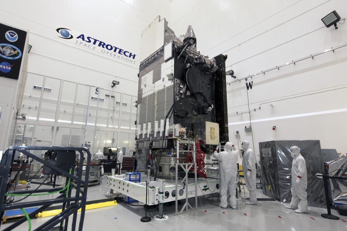
The SCOPE model relies on data from the Geostationary Operational Environmental Satellite (GOES-R) which has been operated by the U.S. National Aeronautics and Space Administration (NASA) and the National Oceanic and Atmospheric Administration (NOAA) since 2016. “the launch of the newest generation of geostationary satellites has opened up the possibility of high temporal (<10-min) and spatial (<2 km) resolution estimates, available across the entire United States 24/7,” state the researchers. “We propose a data-driven approach for estimating cloud optical properties by integrating the newest generation of satellite imagery with computationally efficient radiative modeling.”
The group defined three properties of clouds that are key to the amount of light hitting the earth’s surface and used GOES-R data to monitor these. The SCOPE model provides estimates of these properties at five-minute intervals and two-kilometer resolution.
The properties are top height – the altitude at the top of each cloud, cloud thickness – the difference between top and bottom altitude of a cloud, and cloud optical depth – an estimate of how a cloud will affect light passing through it.
The model combines satellite imagery with ambient temperature and relative humidity measured at ground level, feeding these into an atmospheric model to simultaneously measure all three cloud properties.
To validate the model, the researchers used data for the full year 2018, gathered at seven locations across the U.S. in various weather conditions. At all sites and in all conditions, the model was shown to model solar irradiance within 34.5 watts per square meter of measurements taken on the ground. “The results indicate that SCOPE can accurately estimate cloud optical properties during both day and night,” conclude the researchers. “Coupled with its low latency, SCOPE is, therefore, suitable for providing accurate real-time estimates of cloud optical properties for solar forecasting applications.”
This content is protected by copyright and may not be reused. If you want to cooperate with us and would like to reuse some of our content, please contact: editors@pv-magazine.com.


By submitting this form you agree to pv magazine using your data for the purposes of publishing your comment.
Your personal data will only be disclosed or otherwise transmitted to third parties for the purposes of spam filtering or if this is necessary for technical maintenance of the website. Any other transfer to third parties will not take place unless this is justified on the basis of applicable data protection regulations or if pv magazine is legally obliged to do so.
You may revoke this consent at any time with effect for the future, in which case your personal data will be deleted immediately. Otherwise, your data will be deleted if pv magazine has processed your request or the purpose of data storage is fulfilled.
Further information on data privacy can be found in our Data Protection Policy.